


-
Darren Ranco receives Presidential Public Engagement Award
The University of Maine will honor five faculty members with its 2026 Presidential Awards, recognizing excellence in research, teaching, innovation, public engagement and extraordinary impact. Darren Ranco, professor of anthropology, faculty fellow in the Mitchell Center for Sustainability Solutions, and chair of Native American Programs, will receive the Presidential Public Engagement Award in recognition of […]
-
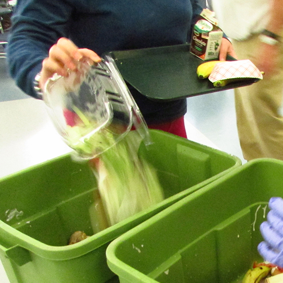
Spring Food Scrap Recovery & Organics Management Workshop
The Maine Department of Environmental Protection, Maine Department of Agriculture, and UMaine’s Mitchell Center are putting on a free workshop in Caribou on organics management. Date: Friday, May 1st, 2026Time: 9AM – 2:15PMLocation: In person at NMDC Conference Room, 11 W. Presque Isle Road, Caribou, ME or via Zoom (https://us06web.zoom.us/j/88445768716?pwd=JkPgFmndr0OxacFbztiOhPvs8RCr67.1) To register contact victor.horton@mrra.net or fill […]
-
Eddie Nachamie: Environmental advocate wins prestigious scholarship
From the gardens to the farms and forests, Eddie Nachamie has dedicated his undergraduate career toward protecting the environment. At the University of Maine, he has worked on projects to reduce food waste, preserve wild blueberries and mitigate the spread of a group of chemicals known as PFAS. As a result of his efforts, Nachamie […]